3D Geospatial Infrastructure
Dimensional, Professional.

Strengthen 3D GIS foundational collaboration and shared analysis tools, shorten GIS system construction time for the public sector, and accelerate the expansion of application services.
Join Now
Features
-
Common Modules
To avoid wasted costs from repeated module development, provide common services such as basemap switching, overlay, 3D marking, measurement, and MAP APIs to lower the threshold and accelerate agency adoption efficiency.
-
High-Performance Cloud
Allow agencies to experience unlimited cloud-integrated application services, creating a high-performance and secure cloud space.
-
Flexible Solutions
Introduce host and system solutions according to different needs, providing specialized functional modules to enhance data circulation and 3D applications.
Service Demonstration
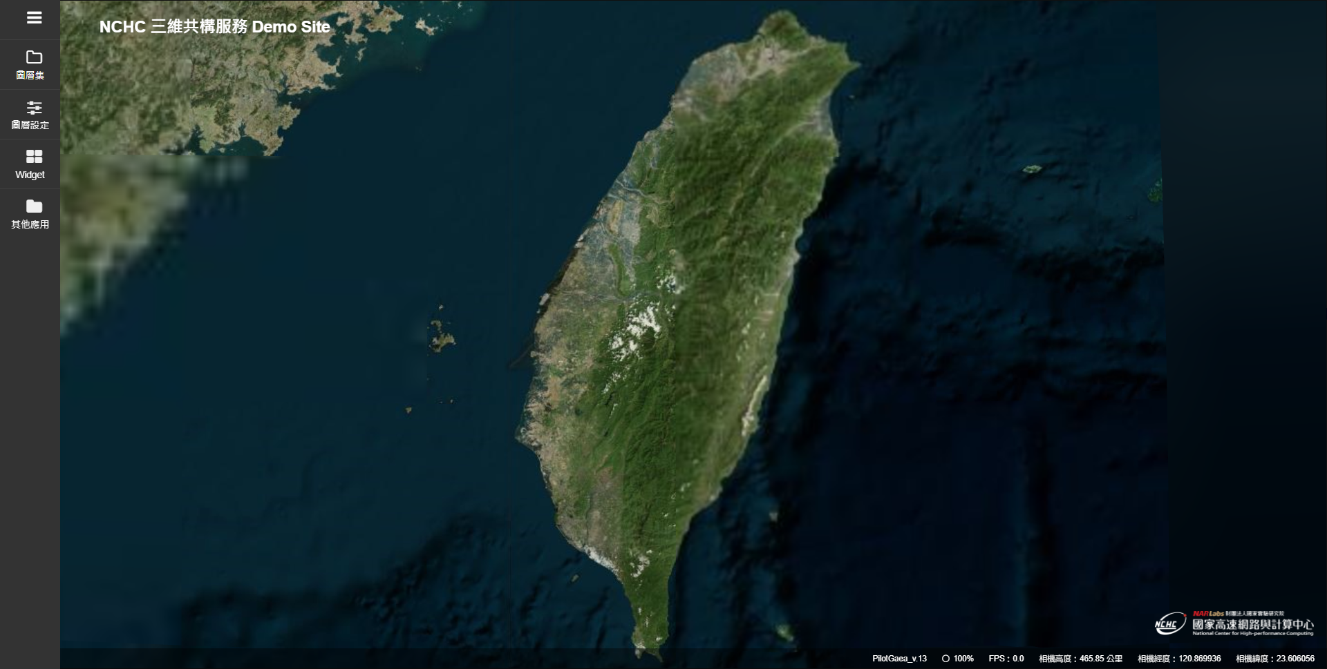
This demonstration website provides 2D and 3D layers as well as other demonstration application cases, including epidemic investigation maps, air pollution information, and vegetation growth index display applications.
Application Process
The multidimensional collaboration system is introduced based on demand and divided into personal or research project types and commissioned project collaboration types. The detailed process is shown in the diagram below.
- Account Application
- Virtual Host and 3D Infra Service Application
- Notification
- Activation Development Documentation
-
Extension ApplicationSuspend
Service Intro.
This service combines the cloud computing resources maintained by the National Network Center, open data, and 3D platforms, making it applicable for geographic information, disaster prevention, tourism, education, national defense, and more. Below is the introduction to this service.
| Basic Functions | Includes frontend basic development of the platform, layer management, and other functions. |
|---|---|
| Advanced Functions |
Advanced functions that have been developed are described in detail in the 3D Platform Development Documentation.。
|
Plans
2. Add the 3D GIS platform (basic version) fee: 150,000.
3. "Public Sector Multidimensional Information System Development Project" partner companies can enjoy free VM resource benefits in the first year (construction period) and the second year (promotion period).
| Solutions | CPU | RAM | HDD | Price/Year |
|---|---|---|---|---|
| Solution 1 | 2 Core | 16GB | 300GB | $50000 |
| Solution 2 | 4 Core | 16GB | 300GB | $100000 |
| Solution 3 | 4 Core | 32GB | 300GB | $150000 |
| Solution 4 | 8 Core | 16GB | 300GB | $200000 |
| Solution 5 | 8 Core | 32GB | 300GB | $250000 |
| Solution 6 | 16 Core | 16GB | 300GB | $400000 |
| Solution 7 | 16 Core | 32GB | 300GB | $450000 |
| Solution 8 | 32 Core | 16GB | 300GB | $800000 |
| Solution 9 | 32 Core | 32GB | 300GB | $850000 |


